Close Menu
Scientific-Professional Society for Disasaster Risk ManagementScientific-Professional Society for Disasaster Risk Management
    Facebook X (Twitter) Instagram
    Facebook X (Twitter) Instagram YouTube LinkedIn TikTok
    Scientific-Professional Society for Disasaster Risk ManagementScientific-Professional Society for Disasaster Risk Management
    Contact
    • About
      • History
      • President
      • Members
      • Secretary
      • Documentation
        • Statute
        • Communication Strategy
        • Work Information Booklet
        • Seminar Programs
        • Training Programs
        • Regulations on Identification Cards, Badges, and Uniforms
        • Cooperation Agreements
        • Organization Flyer
        • Membership Application Form
      • Membership
      • Contact SPS-DRM
    • Publication
      • Books
      • Collection of papers
      • Scientific papers
      • Broschure
      • Flyers and Posters
      • International journal (IJDRM)
    • IJDRM
    • ProSafeNet
    • Science
      • International Institute
      • Research Projects
      • Research Collaboration
      • International conference
    • Education
      • Training
      • Seminars
    • Information
      • Gallery / Training Photo Archive
      • Announcements
      • Media
      • Donations and Sponsorships
    • Posts
    Scientific-Professional Society for Disasaster Risk ManagementScientific-Professional Society for Disasaster Risk Management
    Home»News»Transforming Landscapes, Shaping Risk: Land Cover Change and Disaster Vulnerability in Parshuram Municipality (2005–2025)
    News

    Transforming Landscapes, Shaping Risk: Land Cover Change and Disaster Vulnerability in Parshuram Municipality (2005–2025)

    EditorBy EditorAugust 10, 2026No Comments2 Mins Read
    Facebook Twitter LinkedIn Telegram Pinterest Tumblr Reddit WhatsApp Email
    Screenshot 2026 08 10 184402 Transforming Landscapes, Shaping Risk: Land Cover Change and Disaster Vulnerability in Parshuram Municipality (2005–2025)
    Share
    Facebook Twitter LinkedIn Pinterest Email

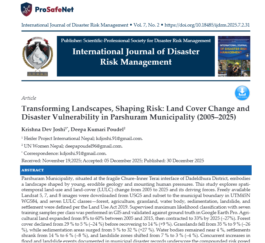
    Parshuram Municipality, situated at the fragile Chure–Inner Terai interface of Dadeldhura District, embodies a landscape shaped by young, erodible geology and mounting human pressures. This study explores spatiotemporal land-use and land-cover (LULC) change from 2005 to 2025 and its driving forces. Freely available Landsat 5, 7, and 8 images were downloaded from USGS and subset to the municipal boundary in UTM45N WGS84, and seven LULC classes—forest, agriculture, grassland, water body, sedimentation, landslide, and settlement were defined per the Land Use Act 2019. Supervised maximum likelihood classification with seven training samples per class was performed in GIS and validated against ground truth in Google Earth Pro. Agricultural land expanded from 8% to 60% between 2005 and 2015, then contracted to 33% by 2025 (–27%). Forest cover declined from 29 % to 5 % (–24 %) before recovering to 14 % (+9 %). Grasslands fell from 35 % to 9 % (–26 %), while sedimentation areas surged from 5 % to 32 % (+27 %). Water bodies remained near 4 %, settlements shrank from 14 % to 6 % (–8 %), and landslide zones shifted from 7 % to 3 % (–4 %). Concurrent increases in flood and landslide events documented in municipal disaster records underscore the compounded risk posed by these LULC shifts. These trends reflect human encroachment, haphazard settlement expansion, and intensified erosion under monsoonal extremes. Mitigating disaster vulnerability and fostering sustainable development will require integrated land management, targeted reforestation, nature-based slope stabilization, and a geospatial early-warning system.

    Authors

    • Krishna Dev JoshiHeifer Project International, NepalAuthor
    • Deepa Kumari PoudelUN Women in NepalAuthor

    DOI:

    https://doi.org/10.18485/ijdrm.2025.7.2.31

    Keywords:

    land use and landcover change, Parshuram municipality, remote sensing, sedimentation, disaster vulnerability, nature-based solutions

    https://internationaljournalofdisasterriskmanagement.com/index.php/Vol1/article/view/127


    Share. Facebook Twitter Pinterest LinkedIn Tumblr Telegram Email
    Previous ArticleThe Impacts of Upstream Damming of the Omo River on Flood-Retreat Agriculture and Food Security Among Dassanech Agro-pastoralists, Lower Omo Valley, Ethiopia
    Editor
    • Website

    Prof. Dr. Vladimir M. Cvetković is recognized as a leading expert in Disaster Risk Management, with a focus on Risk Reduction, Preparedness, Response, and Recovery. He has authored over 300 scientific papers published in domestic and international journals and proceedings, as well as 30 books.

    Related Posts

    The Impacts of Upstream Damming of the Omo River on Flood-Retreat Agriculture and Food Security Among Dassanech Agro-pastoralists, Lower Omo Valley, Ethiopia

    August 10, 2026

    The Impact of Political Variables on the Quality of Health Services in Governmental Hospitals – Case Study: Al-Shifa Medical Complex

    August 10, 2026

    The Impact of Geographic Information Systems on Emergency Management and Disaster Response in Nigeria

    August 10, 2026
    Add A Comment
    Leave A Reply

    You must be logged in to post a comment.

    Scientific-Professional Society for Disaster Risk Management (SPS-DRM) President’s Office: president@spsdrm.org Administrative Office: secretary@spsdrm.org Belgrade, Serbia | www.spsdrm.org
    Scientific-Professional Society for Disaster Risk Management, Belgrade, Serbia.

    The Association “Scientific-Professional Society for Disaster Risk Management”  (www.spsdr.com) is a non-governmental and non-profit association, established for an indefinite period, for the purpose of achieving objectives related to the advancement of scientific and professional knowledge and practice in the field of disaster risk management, emergencies, security, protection and community resilience, through the implementation of quantitative and/or qualitative research, publishing activities (journals, books and other publications), organizing national and international events, conducting formal and non-formal forms of education and professional development, preparing expert analyses, risk assessments and planning documents, developing digital platforms and knowledge bases, as well as other activities in accordance with the law and this Statute.

    International Journal of Disaster Risk Management

    The International Journal of Disaster Risk Management (IJDRM) is a double-blind peer-reviewed, open-access international scientific journal, published twice a year, dedicated to advancing interdisciplinary research, policy, and professional practice in the fields of disaster risk management, disaster risk reduction, hazards, emergencies, and resilience. The journal provides an international platform for researchers, academics, practitioners, policymakers, emergency managers, and other professionals to exchange knowledge, research findings, and innovative approaches to disaster prevention and management. IJDRM publishes theoretical, empirical, methodological, and applied contributions covering the entire disaster risk management cycle—prevention, mitigation, preparedness, response, recovery, reconstruction, and resilience-building.   www.ijdrm.com

    Scientific-Professional Society for Disaster Risk Management (SPS-DRM)

    Type above and press Enter to search. Press Esc to cancel.